Survival in the mountains depends entirely on where the accident occurred or where people got lost, the location of the mountain range (hemisphere, continent, distance from populated areas) and vertical zonality. In the highlands, people in extreme situations will face the same problems as in the polar tundra. However, in the forest belt, the possibilities of survival increase significantly.
And yet, the greatest danger for a person caught in an extreme situation in a mountainous area is:

- Sparsely populated or uninhabited mountain areas, where not only special gear and equipment are needed, but also certain skills in moving in the mountains. Moreover, the most extreme conditions of existence in the mountains arise at altitudes above 3000 m since there the number of plants and representatives of the animal world decreases significantly, and with a further increase in altitude, it disappears completely;
- climatic features of the highlands associated with low temperatures and their sharp drops, hurricane winds, the presence of snow cover and glaciers, icefalls, and serious thunderstorm danger;
- A specific mountainous terrain with a vertical structure associated with a high avalanche danger, mountain falls, landslides, rockfalls and widespread scree, forming cones and trails of small and large stones on the slopes. Often, they are so steep that the movement of stones can occur for no apparent reason;
- Sudden and heavy rains lead to a sharp rise in the water level in mountain streams and rivers, making crossing them dangerous and sometimes impossible. This is aggravated by the low water temperature in the rivers and the strength of the water flow. Frequent fogs make orientation difficult; lack of fuel, shortage, and at high altitudes, complete absence of food (edible plants, insects, small and large animals);
- Oxygen deficiency, caused by thin air at altitudes above 2000 m, has a significant impact on psychological stability, attention and performance. At altitudes above 4500 m above sea level, lack of oxygen can lead to even greater complications – pulmonary oedema and respiratory paralysis.
Therefore, the general strategy for survival in the highlands comes down to descending as quickly as possible to safe heights (below 2000 m above sea level).
What is Trekking?

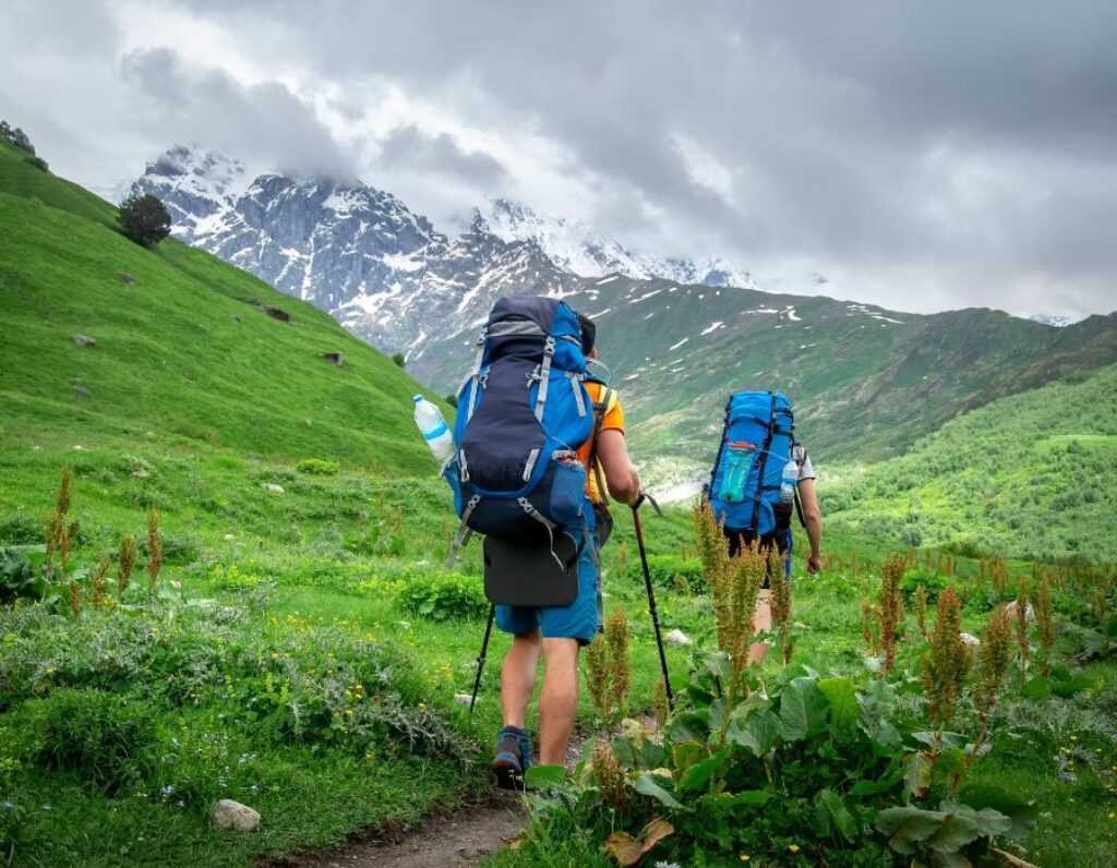
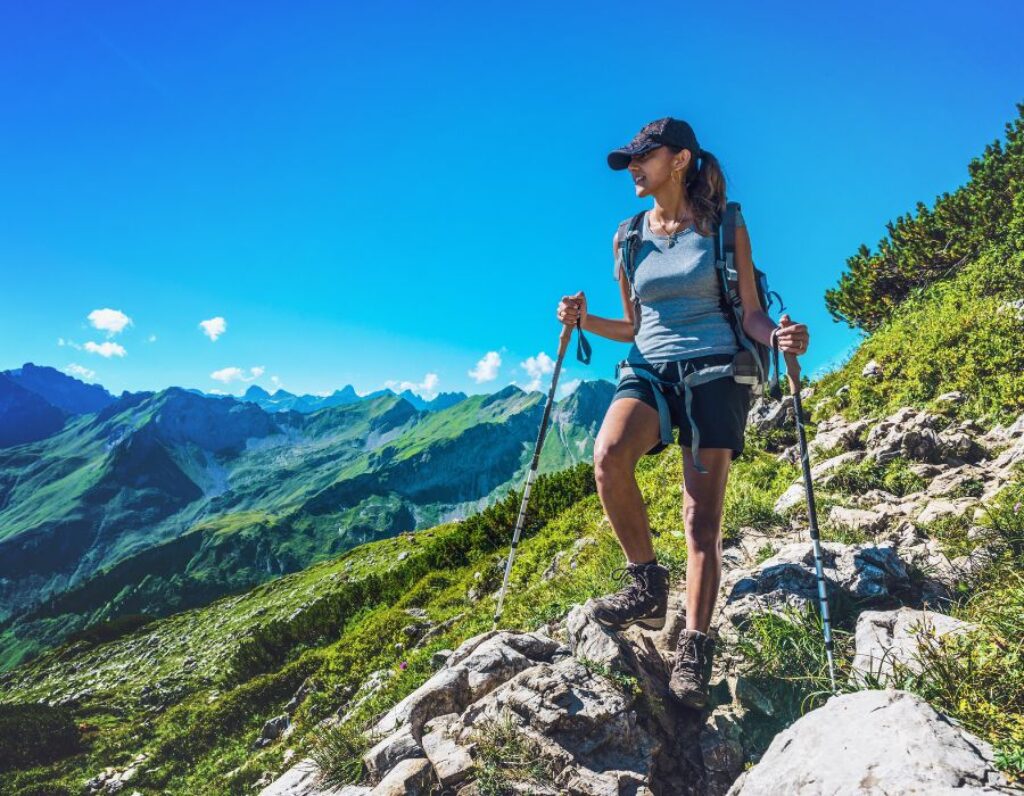
Translated from English, Trekking means hiking over rough terrain without special training for participants. However, for lovers of active recreation, it has a much more vivid and meaningful meaning. As one famous Englishman said, “Trekking is the common denominator of life in the Himalayas… Here, on the way, everyone finds their style, their philosophy…”
On the way, time flies unnoticed; every minute, you discover the world of your native nature sounds, colours, and the life of birds and plants. On the trail or at the shelter during lunch, groups of tourists from all over the country constantly meet so they can share their impressions of the day and make new friends. Transit times per day usually vary from 5 to 7 hours. A day of Trekking is certainly full of events and new sensations.
It is not surprising that many people in the world now increasingly prefer this type of recreation to the beaches of famous resorts. They call real relaxation a life in motion, a journey into the land of the unknown. Travelling in the rhythm of Trekking is accessible to anyone, regardless of age and health. This is a unique opportunity to see your country from the inside with its thousand-year-old culture and traditions, away from the dust and bustle of big cities.
Beautiful Mountains For a Hike
TROODOS MOUNTAINS
Troodos Mountains – incomparable mountain landscapes, solitude, the opportunity to experience the true beauty of nature, take unforgettable walks, fish in reservoirs, witness the vigorous activity of the Caledonia Falls, and enjoy the sight of many unique plants and animals. The Troodos complex arose 80 million years ago and rose above sea level. In general, this is how the island of Cyprus appeared.
The mountains dotted with pine trees rise a couple of thousand meters (the highest point is Mount Olympos (1951 m), which makes them attractive not only for tourists (four routes of varying lengths have been developed) but also for climbers and skiers. Winter Troodos attract the latter. There are good pistes, and this is the only place in Cyprus where there is snow in winter. Well, in summer, accordingly, here is an ideal place for tourists exhausted by the heat. The picturesque mountain villages of Troodos and the perfectly preserved Troodos monasteries, nestled in remote, inaccessible places of forests, deserve attention. And have accumulated a lot of interesting things over the past centuries.
MOUNT MOSES
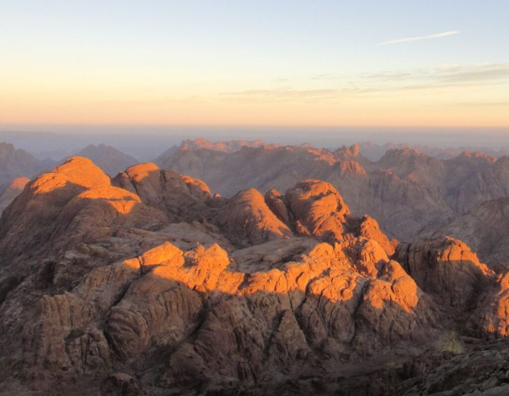
Monks also call it a “sacred peak”. Mount Moses has a height of 2285 meters above sea level; you can climb it from the monastery in two hours. According to legend, this is the same Mount Horeb, on the top of which Moses received the tablets and the Ten Commandments.

There are two paths to the top of the mountain. One is 3,750 steps carved into the rocks by monks. This path is shorter but more difficult. The Egyptian authorities laid out another easier path in the 19th century, and you can even climb it on horseback. A chapel dedicated to the Holy Trinity was built on the top of Mount Moses.
From the top of the mountain, there is a breathtaking view that is worth the effort of climbing. The view is especially beautiful at dawn. According to legend, a person who climbs the mountain and watches the sunrise there is forgiven of all sins.
This excursion is unusual in everything: the ascent begins late at night, somewhere in the third hour. Therefore, it is necessary to get enough sleep before the trip. Be sure to wear comfortable and light shoes and take warm clothes with you, since before dawn, at an altitude of more than 2200 meters, it is quite cold – plus 5-8 degrees. A backpack for things and water will also come in handy.
TROLL ROAD
The popular tourist route in Norway, the Troll Road (Trollstigen), begins at Geirangerfjord. This road was built in 1936; it climbs a steep mountain slope, making steep serpentine turns 11 times. The road was once the only route to the Sunnmere fjords. The route of the road crosses the Stigfossen waterfall, which has a height of 180 meters. From the top of the mountain, which the road climbs, a picturesque panorama of the valley opens.
Also, lovers of outdoor activities consider it their duty to visit the “Troll Wall”, a sheer rock wall more than 1000 m high, the ascent of which is considered one of the most difficult in the world. It was conquered in 1965, and today, climbers climb it at any time of the year. Attention! The road closes for the winter in mid-September.


